
Services

Hard information on land, projects and territories.

C2050 studies integrate legal and regulatory analysis with geospatial intelligence — georeferenced, decision-grade intelligence. From a rapid initial screening to a validation-ready evidence base, at varying scales from a single parcel of land to an entire municipality.

Legal & RegulatoryGeospatialHard information

C2050 core services

Studied with two kinds of expert eyes.

Every study integrates legal and regulatory analysis — the rigour of a specialised environmental-law firm — with geospatial intelligence from satellite and sensory data. Georeferenced and decision-grade hard information — evidence, not assertions.

Legal & Regulatory

Carbon rights · tenure · jurisdiction · Article 6

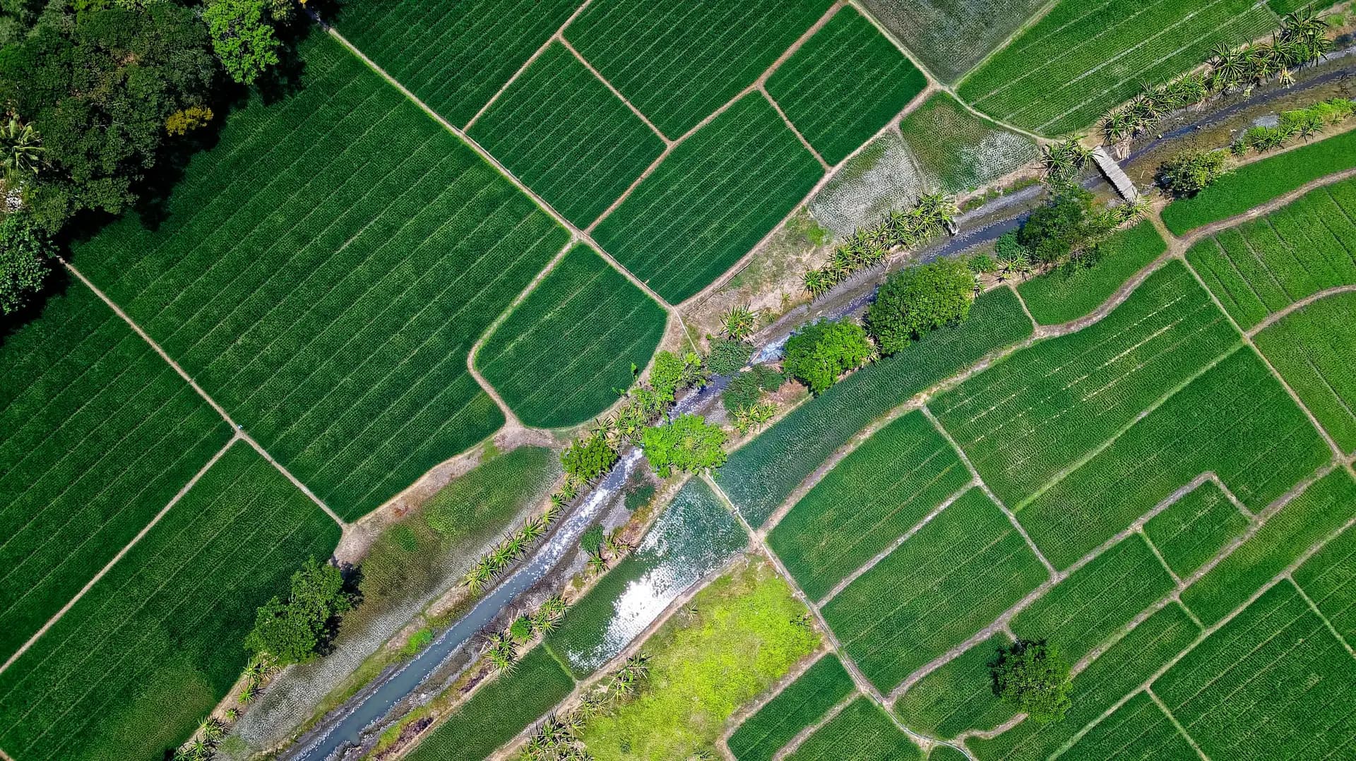
Aerial view of land divided into geometric parcels

One integrated study

georeferenced · decision-grade

Geospatial

Satellite · sensing · land-use · boundaries

The studies

From high-level screening to comprehensive, detailed analysis.

Up to nine studies/steps are typically taken along the environmental asset knowledge journey. This can be tailored for who you are and how far you need to go — each study can be requested individually or a package of studies can be requested from the outset.

01
ProjectScreeningResolves toParcel

Land Eligibility

Georeferenced analysis of a land parcel against environmental and land-tenure layers — the first study of whether the land suits your project.

What you get

A screening study mapping the parcel's environmental and land-tenure fragilities.

Request this study
02
ProjectScreeningResolves toProject area

Preliminary Project Eligibility

Georeferenced analysis of an existing project area against environmental and land-tenure layers — an early study of whether the project meets the basic conditions.

What you get

A screening study of the project area's environmental and land-tenure standing.

Request this study
03
TerritoryScreeningJurisdictionalResolves toRegion

Target Potential

A regional study that pinpoints the areas with the highest credit-generation potential: REDD+ spatial filtering combined with legal review of property compliance.

What you get

A priority-area study: REDD+ eligibility mapped, property compliance reviewed.

Request this study
04
ProjectFeasibilityResolves toProject

Pre-Feasibility

A preliminary scientific feasibility study and a deeper compliance-risk assessment for your project pipeline.

What you get

A preliminary feasibility study setting out the project's compliance risks.

Request this study
05
ProjectFeasibilityResolves toProject

Preliminary Know Your Carbon

A preliminary carbon-potential study via spatial analysis and emission-reduction calculations, benchmarked against standard metrics, with a preliminary legal review of land and project.

What you get

A preliminary carbon-potential study, benchmarked, with a first legal review.

Request this study
06
ProjectFeasibilityResolves toProject

Full Feasibility

A full scientific feasibility study — a depth of analysis unique in the market, addressing the most complex compliance gaps.

What you get

A full scientific feasibility study covering the hardest compliance gaps.

Request this study
07
ProjectComprehensiveResolves toProject

Know Your Carbon

A comprehensive study: PDD-aligned emission metrics and a complete legal review of land tenure and project structure, producing an evidence base ready for independent validation.

What you get

A validation-ready evidence base: PDD-aligned metrics and full legal review.

Request this study
08
TerritoryTerritorialJurisdictionalResolves toCountry · State · Municipality

Baseline Assessment

A study defining the deforestation baseline and risk factors, delivering spatially explicit maps to support jurisdictional strategy and planning — for countries, states or municipalities.

What you get

A baseline study with spatially explicit deforestation and risk maps.

Request this study
09
TerritoryTerritorialJurisdictionalResolves toJurisdiction

Locally Determined Contribution

A study calculating a jurisdiction's specific contribution to the national NDC, aligning local results with National GHG Inventory standards.

What you get

A study of the jurisdiction's NDC contribution, aligned to the National GHG Inventory.

Request this study

Where to start

Not sure which study you need? We'll scope it out with you.

Tell us about your parcel, project or jurisdiction. We'll map it to the right study — from an initial screening to a validation-ready evidence base.